
Planting zones · Riverside, California
What Planting Zone Is Riverside?
Riverside is in USDA zone 10a. Inland Empire Mediterranean climate at about 800 ft: about 9.4 in. of rain, 85% of it November–March, with hot summers. A 32°F freeze occurs in a little over half of winters at the airport.
- USDA zone (2023)10a
- Coldest night (avg.)30 to 35°FZIP 92501
- Median last frostJan 932°F
- Median first frostDec 3032°F
- Annual precipitation9.4 inches
- Frost-free season362 days
Riverside hardiness zone by ZIP code
On the 2023 USDA Plant Hardiness Zone Map, the ZIP codes we sampled in Riverside fall in zone 10a; 92501 (zone 10a) has an average annual extreme minimum of 30 to 35°F. Choose perennials, shrubs, and trees rated at least to zone 10.
| ZIP | Zone | Avg. coldest night |
|---|---|---|
| 92501 | 10a | 30 to 35°F |
| 92503 | 10a | 30 to 35°F |
| 92506 | 10a | 30 to 35°F |
| 92507 | 10a | 30 to 35°F |
Not listed? Look up any ZIP code.
Frost dates and when to plant
The median last spring frost (32°F) at Riverside Municipal Airport is Jan 9 and the median first fall frost is Dec 30, a typical frost-free season of about 362 days. A 32°F freeze doesn't happen every winter there (about 58% of years), so treat these dates as a guide rather than a rule.
Plant container perennials and shrubs after the median last frost (Jan 9), or in early fall at least six weeks before the median first frost (Dec 30) so roots can settle in before the ground freezes.
Rainfall and heat in Riverside
Average annual precipitation is 9.4 inches (Riverside Municipal Airport, 1991–2020), and 85% of it falls November–March. Summers are dry (June is the driest month), so plants lean on stored soil moisture and supplemental water through their first summer.
The average high in August is about 95°F and the average low in December is about 43°F, measured at about 810 ft.
That is why a zone rating alone isn't enough for a xeriscape here: pick plants that are both cold-hardy to zone 10 and rated very low or low water once established.
Low-water plants for Riverside
18 plants in our database are hardy to zone 10 and suited to zone 10. Here are 12, driest first, across plant types.
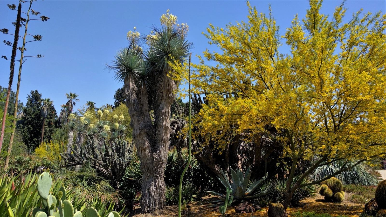 'Desert Museum' Palo VerdeParkinsonia 'Desert Museum'Zones 8–11 · Very low water
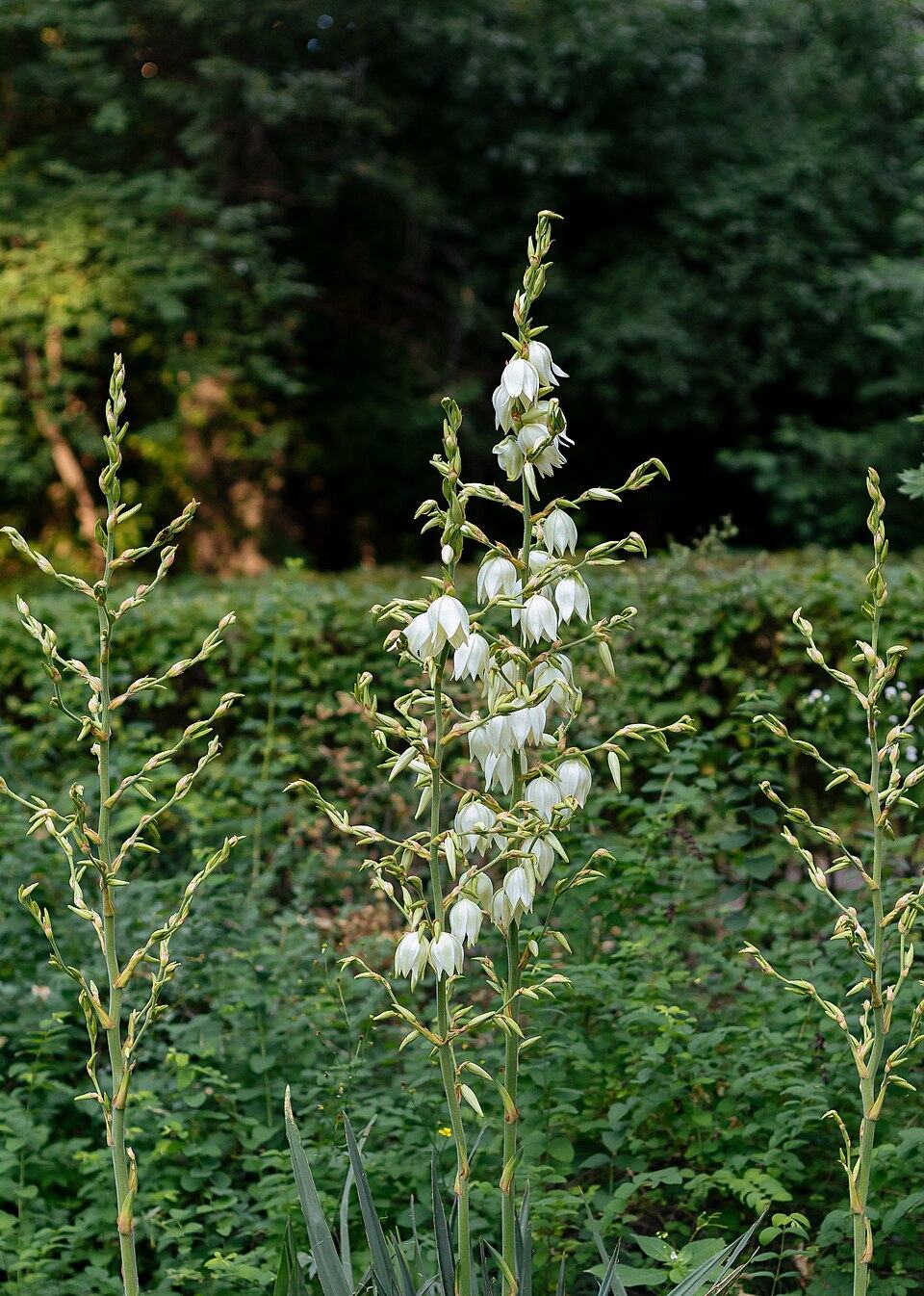 Adam's Needle YuccaYucca filamentosaZones 4–10 · Very low water
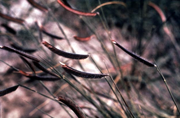 Blue GramaBouteloua gracilisZones 3–10 · Very low water
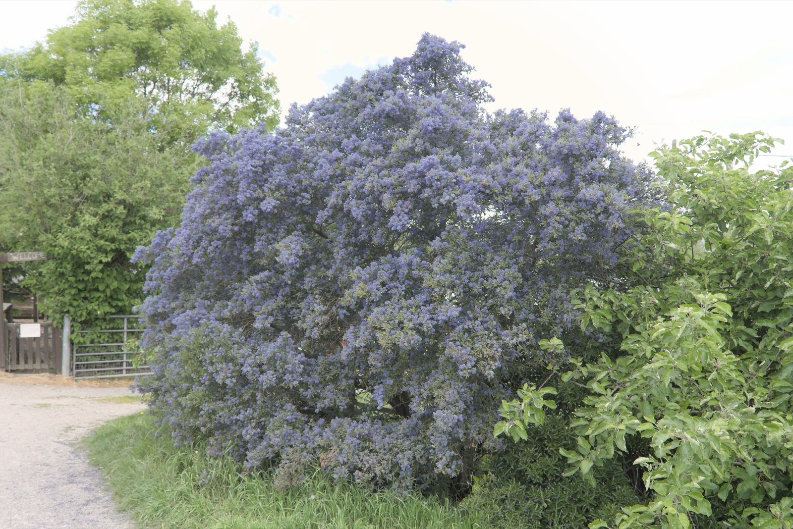 Blueblossom CeanothusCeanothus thyrsiflorusZones 8–10 · Very low water
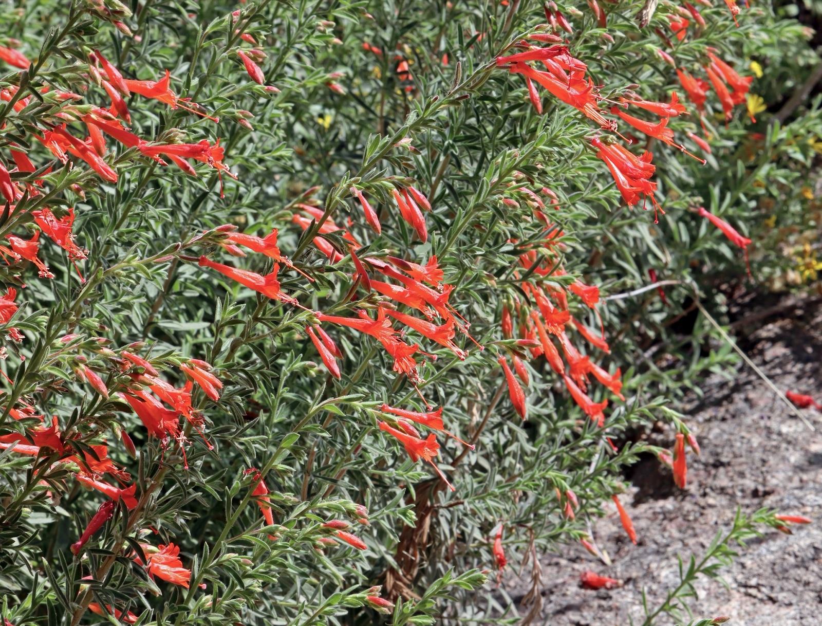 California FuchsiaEpilobium canum (syn. Zauschneria californica)Zones 8–10 · Very low water
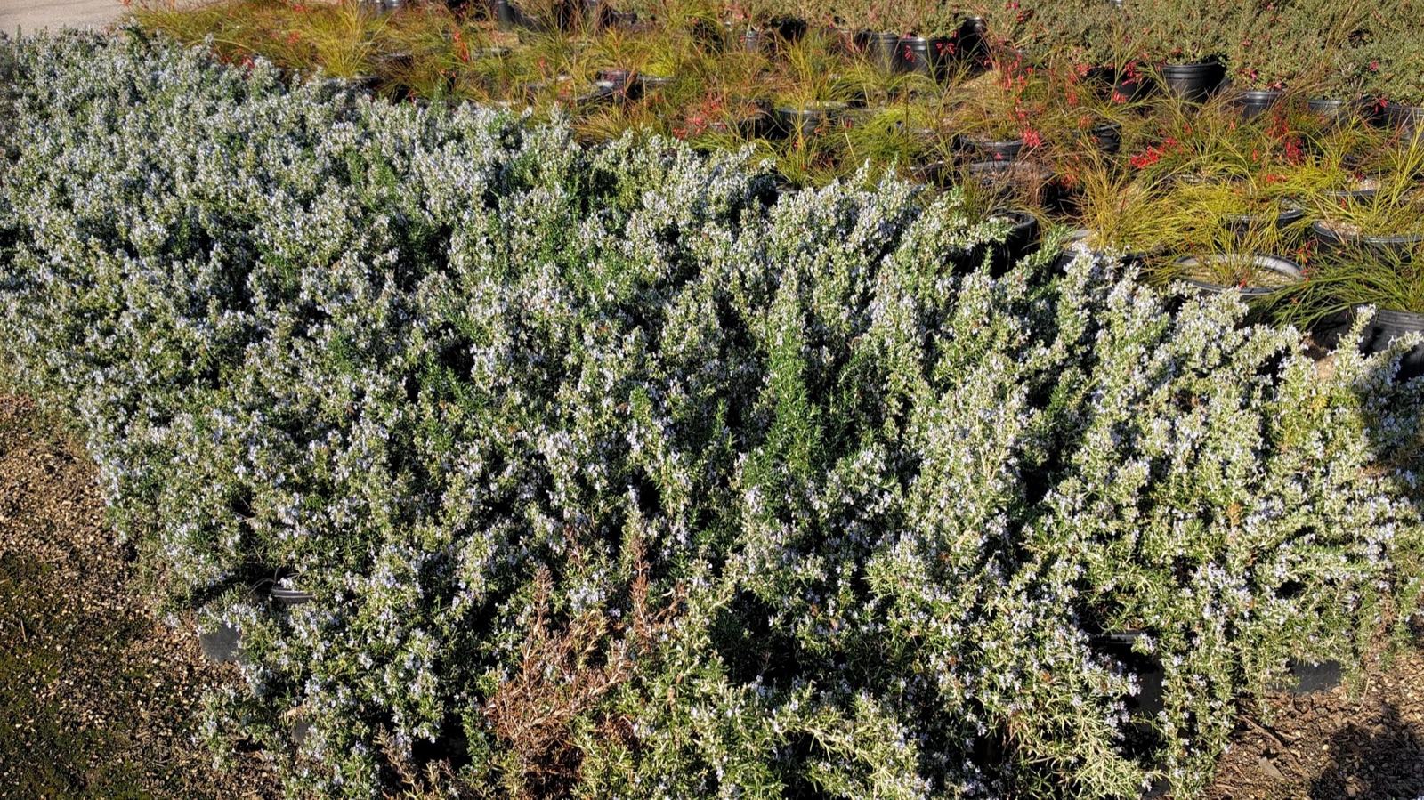 Trailing RosemarySalvia rosmarinus Prostratus GroupZones 8–10 · Low water
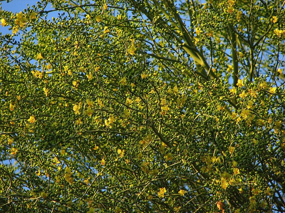 Blue Palo VerdeParkinsonia floridaZones 8–11 · Very low water
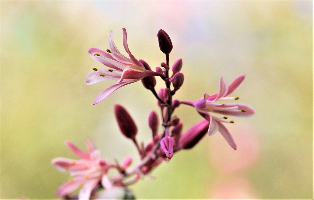 Red YuccaHesperaloe parvifloraZones 5–10 · Very low water
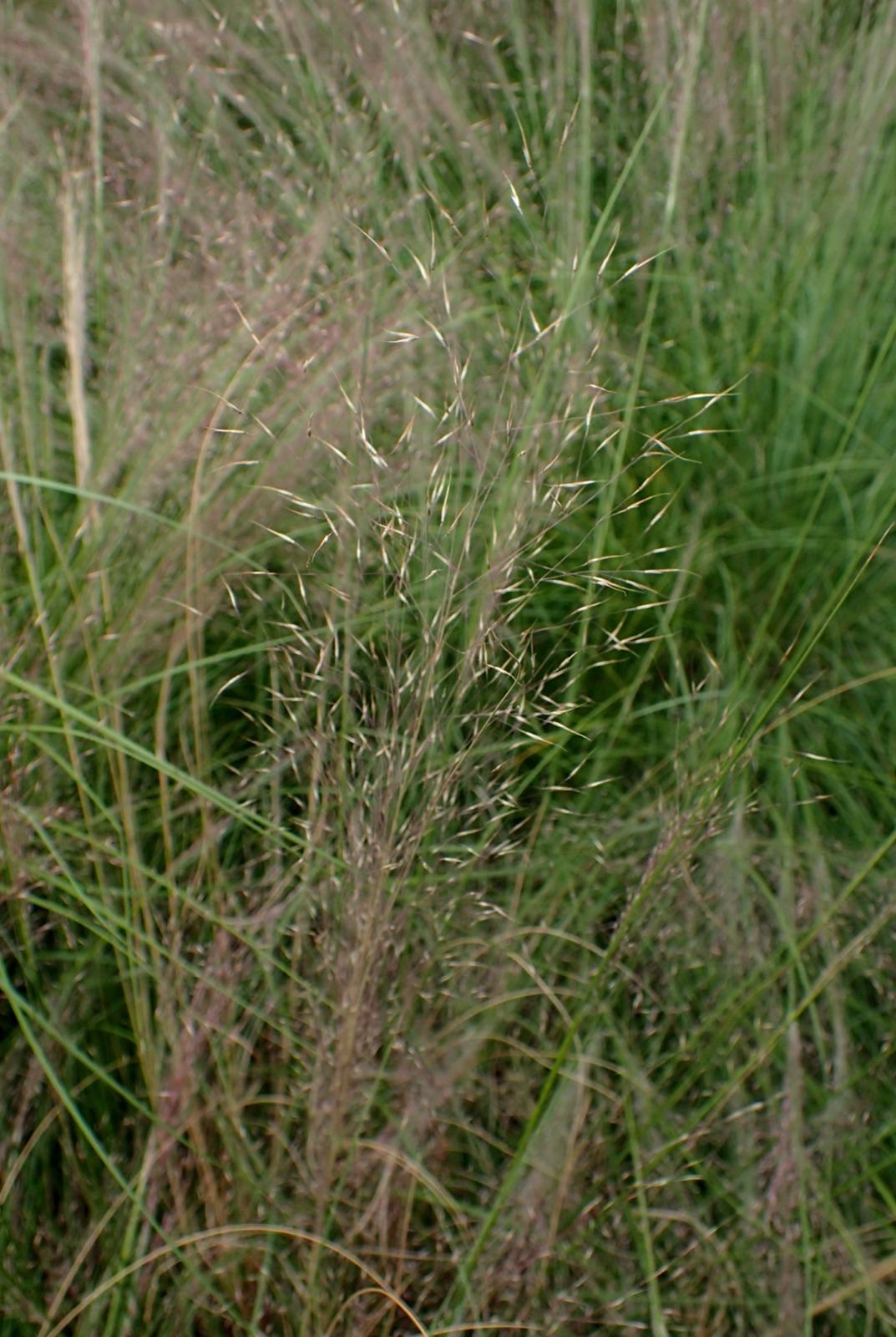 Undaunted Ruby MuhlyMuhlenbergia reverchonii 'PUND01S' (UNDAUNTED®)Zones 5–10 · Low water
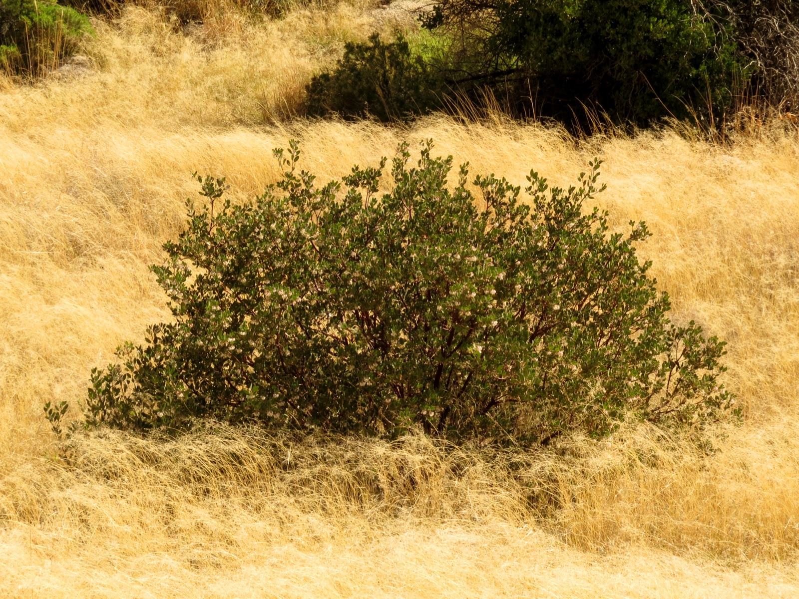 Common ManzanitaArctostaphylos manzanitaZones 8–10 · Very low water
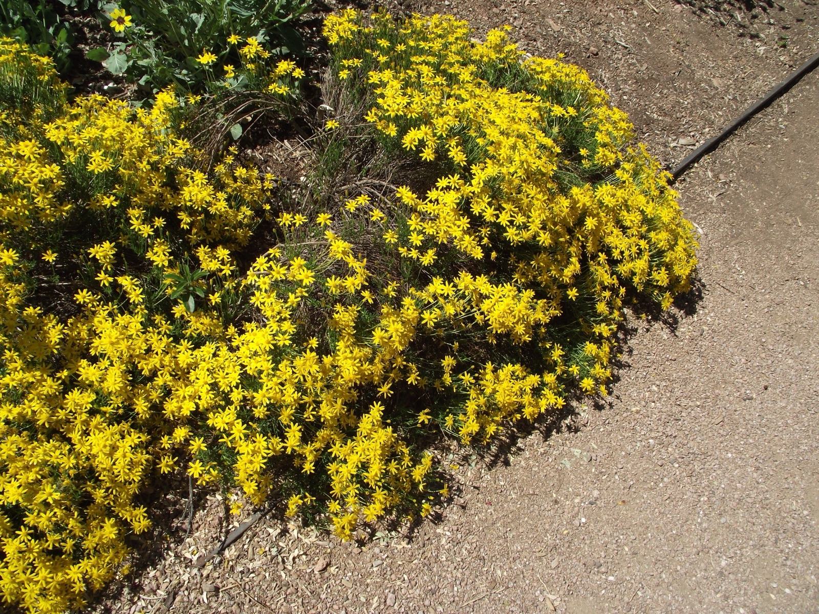 DamianitaChrysactinia mexicanaZones 7–10 · Very low water
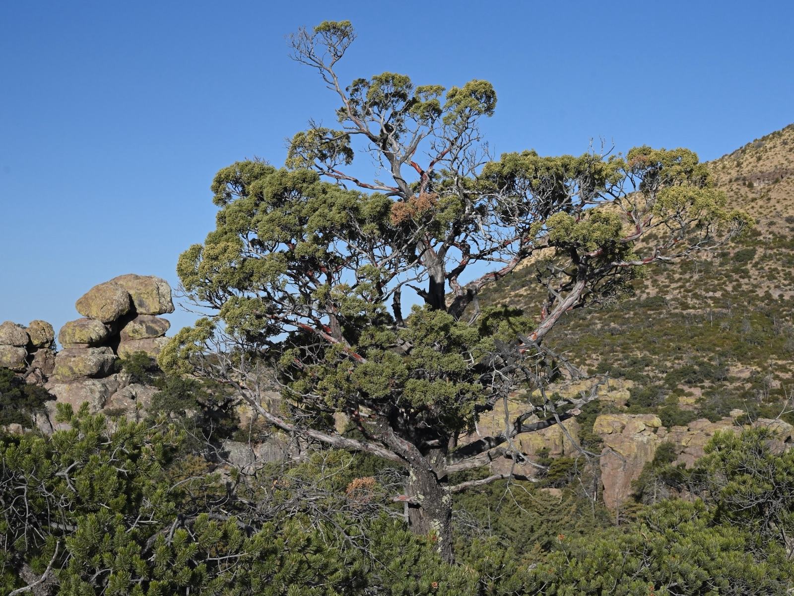 Arizona CypressHesperocyparis arizonica (syn. Cupressus arizonica)Zones 7–11 · Low water
Frequently asked questions
What planting zone is Riverside?
Riverside, CA is in USDA hardiness zone 10a on the 2023 USDA Plant Hardiness Zone Map, based on the ZIP codes we sampled (92501: 10a, 92503: 10a, 92506: 10a, 92507: 10a). In 92501, the average coldest night of the year is 30 to 35°F.
When is the last frost in Riverside?
The median last spring frost (32°F) at Riverside Municipal Airport is Jan 9 and the median first fall frost is Dec 30, a typical frost-free season of about 362 days. A 32°F freeze doesn't happen every winter there (about 58% of years), so treat these dates as a guide rather than a rule.
How much rain does Riverside get?
Average annual precipitation is 9.4 inches (Riverside Municipal Airport, 1991–2020), and 85% of it falls November–March. Summers are dry (June is the driest month), so plants lean on stored soil moisture and supplemental water through their first summer.
Sources
- NOAA NCEI U.S. Climate Normals 1991–2020, Riverside Municipal Airport (USW00003171). ncei.noaa.gov
- USDA ARS 2023 Plant Hardiness Zone Map, by ZIP. planthardiness.ars.usda.gov